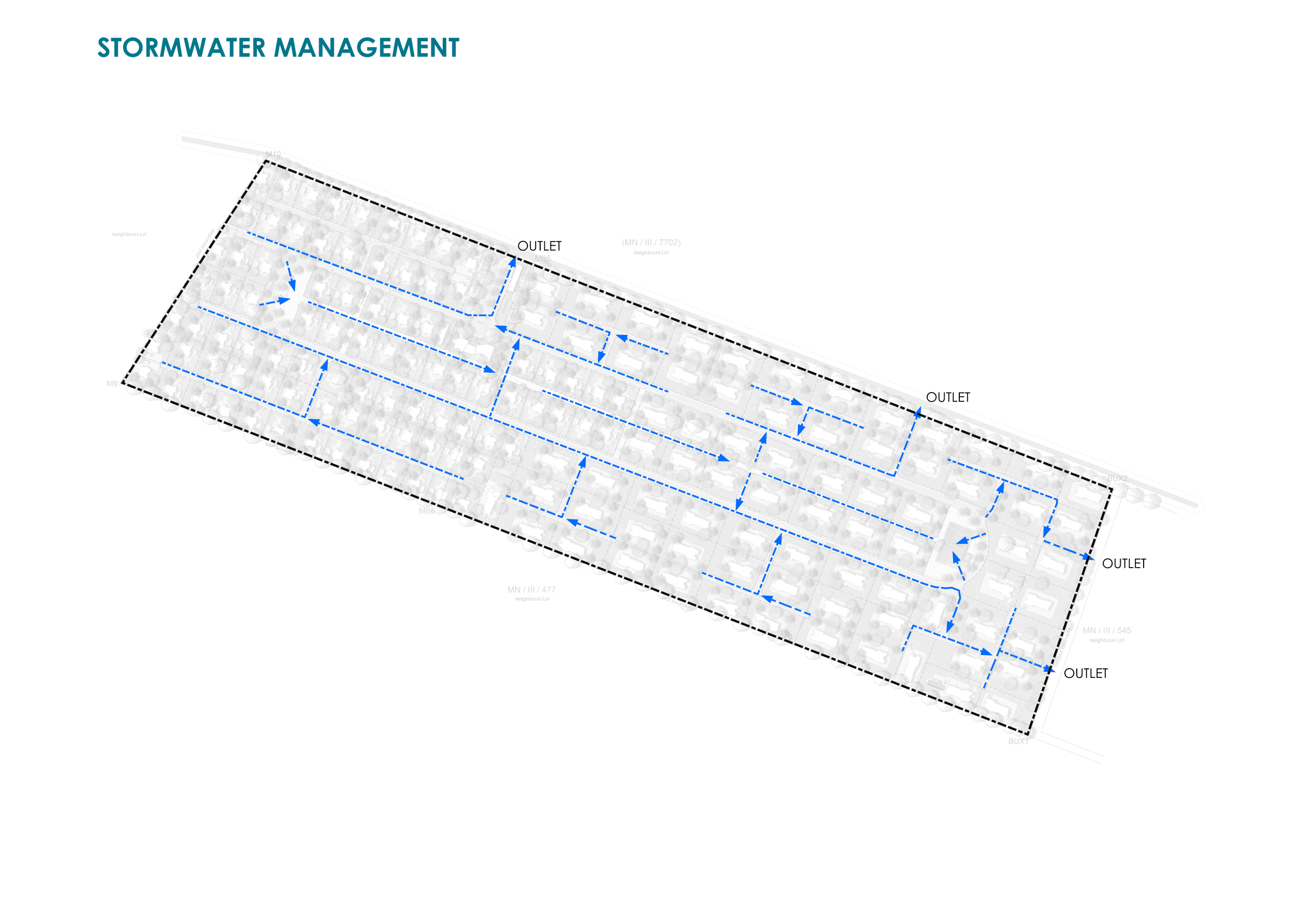
The catchments boundaries were delineated on a contoured topography map and on the road layout. The areas were determined from the areas delineated on the CAD drawings. The catchment shape and greatest length were also noted. Soil Maps gave the general soil characteristics but local soil types and characteristics should be noted during field investigations and these were identified as silty/clay and sandy soils. Any evidence of water logging or impeded drainage were absent other that on the low areas. Catchment slopes were determined using topography maps and from the plan and terrain model. Slopes of large catchments should be determined from topographical maps.